
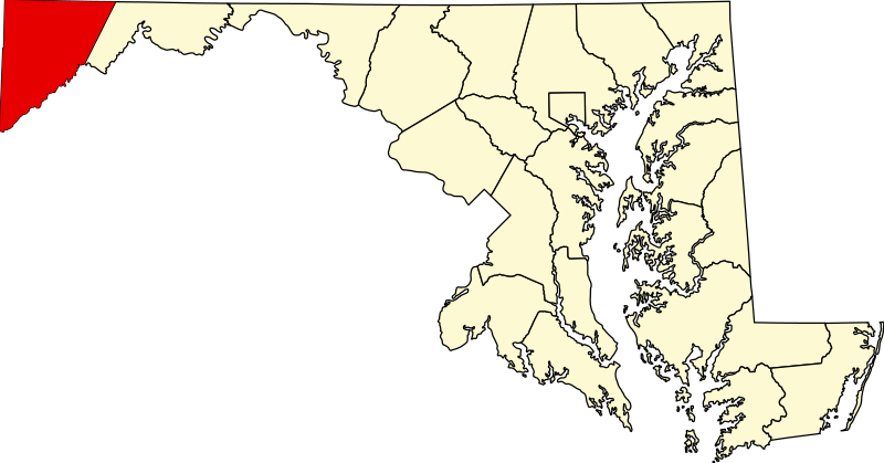
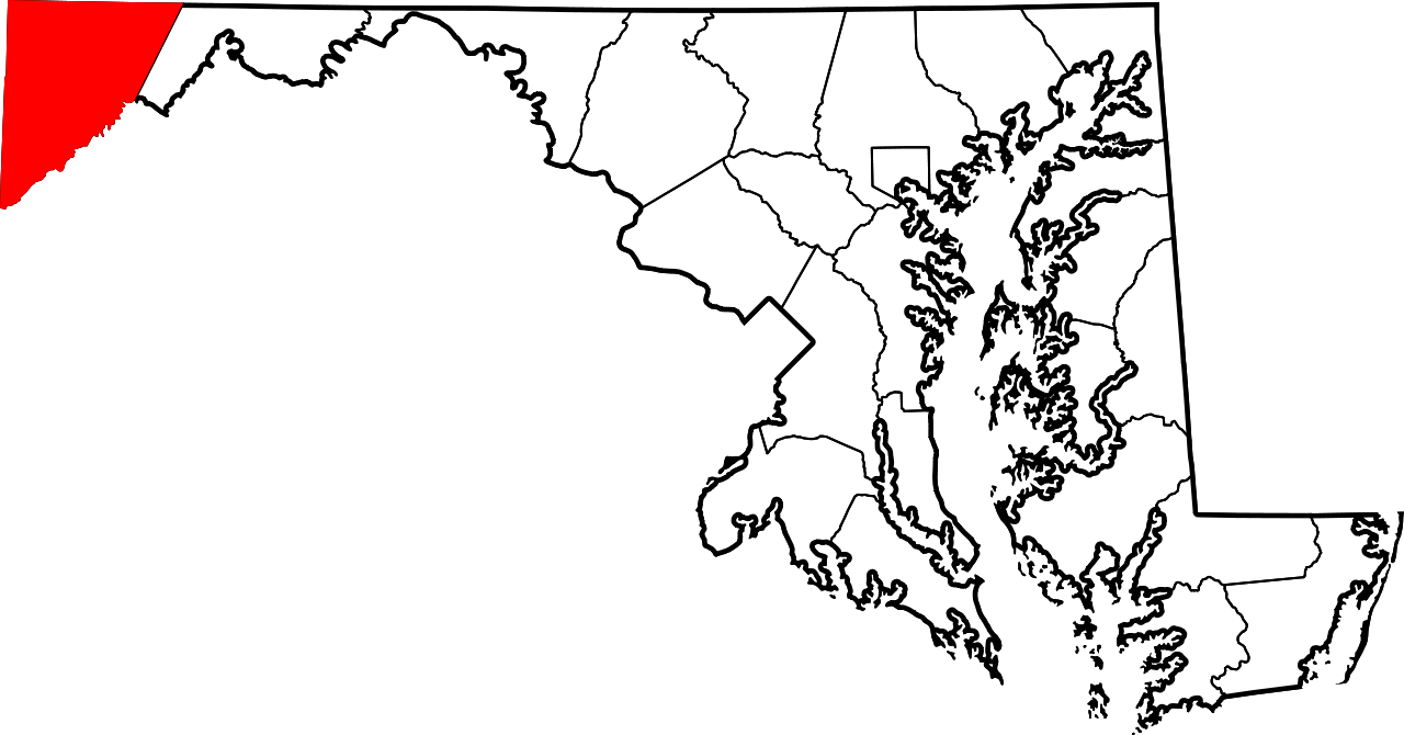
Fichier:Map of Maryland highlighting Garrett County.svg

Taille de cet aperçu PNG pour ce fichier SVG : 800 × 419 pixels. Autres résolutions : 320 × 167 pixels | 640 × 335 pixels | 1 024 × 536 pixels | 1 280 × 670 pixels | 2 560 × 1 340 pixels | 3 858 × 2 019 pixels.
Fichier d’origine (Fichier SVG, nominalement de 3 858 × 2 019 pixels, taille : 139 kio)
Ce fichier et sa description proviennent de Wikimedia Commons.
Description
| Description |
English: This is a locator map showing Garrett County in Maryland. For more information, see Commons:United States county locator maps. |
| Date | |
| Source |
Travail personnel: English: The maps use data from nationalatlas.gov, specifically countyp020.tar.gz on the Raw Data Download page. The maps also use state outline data from statesp020.tar.gz. The Florida maps use hydrogm020.tar.gz to display Lake Okeechobee. |
| Auteur | David Benbennick |
Conditions d’utilisation
| Moi, propriétaire des droits d’auteur sur cette œuvre, la place dans le domaine public. Ceci s'applique dans le monde entier. Dans certains pays, ceci peut ne pas être possible ; dans ce cas : J’accorde à toute personne le droit d’utiliser cette œuvre dans n’importe quel but, sans aucune condition, sauf celles requises par la loi. |
Historique du fichier
Cliquer sur une date et heure pour voir le fichier tel qu'il était à ce moment-là.
| Date et heure | Vignette | Dimensions | Utilisateur | Commentaire | |
|---|---|---|---|---|---|
| actuel | 12 février 2006 à 14:48 | | 3 858 × 2 019 (139 kio) | David Benbennick | {{subst:User:Dbenbenn/clm|county=Garrett County|state=Maryland|type=county}} |
Utilisation du fichier
La page suivante utilise ce fichier :
Usage global du fichier
Les autres wikis suivants utilisent ce fichier :
- Utilisation sur ar.wikipedia.org
- Utilisation sur bg.wikipedia.org
- Utilisation sur bpy.wikipedia.org
- Utilisation sur ca.wikipedia.org
- Utilisation sur cdo.wikipedia.org
- Utilisation sur ceb.wikipedia.org
- Utilisation sur ce.wikipedia.org
- Utilisation sur cy.wikipedia.org
- Utilisation sur de.wikipedia.org
- Utilisation sur en.wikipedia.org
- Garrett County, Maryland
- Oakland, Maryland
- List of counties in Maryland
- Accident, Maryland
- Deer Park, Maryland
- Friendsville, Maryland
- Grantsville, Maryland
- Kitzmiller, Maryland
- Loch Lynn Heights, Maryland
- Mountain Lake Park, Maryland
- Western Maryland
- Gorman, Maryland
- Bloomington, Maryland
- Template:Garrett County, Maryland
- McHenry, Maryland
- Swanton, Maryland
- User:Nyttend/County templates/MD
Voir davantage sur l’utilisation globale de ce fichier.