
Fichier:Map of Florida highlighting Heartland.svg

Taille de cet aperçu PNG pour ce fichier SVG : 601 × 599 pixels. Autres résolutions : 241 × 240 pixels | 481 × 480 pixels | 770 × 768 pixels | 1 027 × 1 024 pixels | 2 054 × 2 048 pixels | 7 342 × 7 321 pixels.
Fichier d’origine (Fichier SVG, nominalement de 7 342 × 7 321 pixels, taille : 311 kio)
Ce fichier et sa description proviennent de Wikimedia Commons.
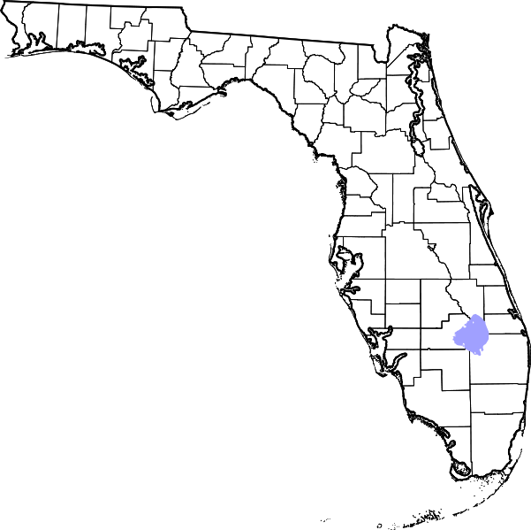
This is a locator map showing Florida Heartland.
Created by Cary Bass based on maps by David Benbennick. For more information, see Commons:United States county locator maps.
| Moi, propriétaire des droits d’auteur sur cette œuvre, la place dans le domaine public. Ceci s'applique dans le monde entier. Dans certains pays, ceci peut ne pas être possible ; dans ce cas : J’accorde à toute personne le droit d’utiliser cette œuvre dans n’importe quel but, sans aucune condition, sauf celles requises par la loi. |
Historique du fichier
Cliquer sur une date et heure pour voir le fichier tel qu'il était à ce moment-là.
| Date et heure | Vignette | Dimensions | Utilisateur | Commentaire | |
|---|---|---|---|---|---|
| actuel | 30 mai 2007 à 15:18 | | 7 342 × 7 321 (311 kio) | Bastique | Added Okeechobee |
| 30 mai 2007 à 14:46 |  | 7 342 × 7 321 (311 kio) | Bastique | This is a locator map showing Southwest Florida. Created by Cary Bass based on maps by David Benbennick. For more information, see Commons:United States county locator maps. {{PD-self}} [ |
Utilisation du fichier
La page suivante utilise ce fichier :
Usage global du fichier
Les autres wikis suivants utilisent ce fichier :
- Utilisation sur en.wikipedia.org